

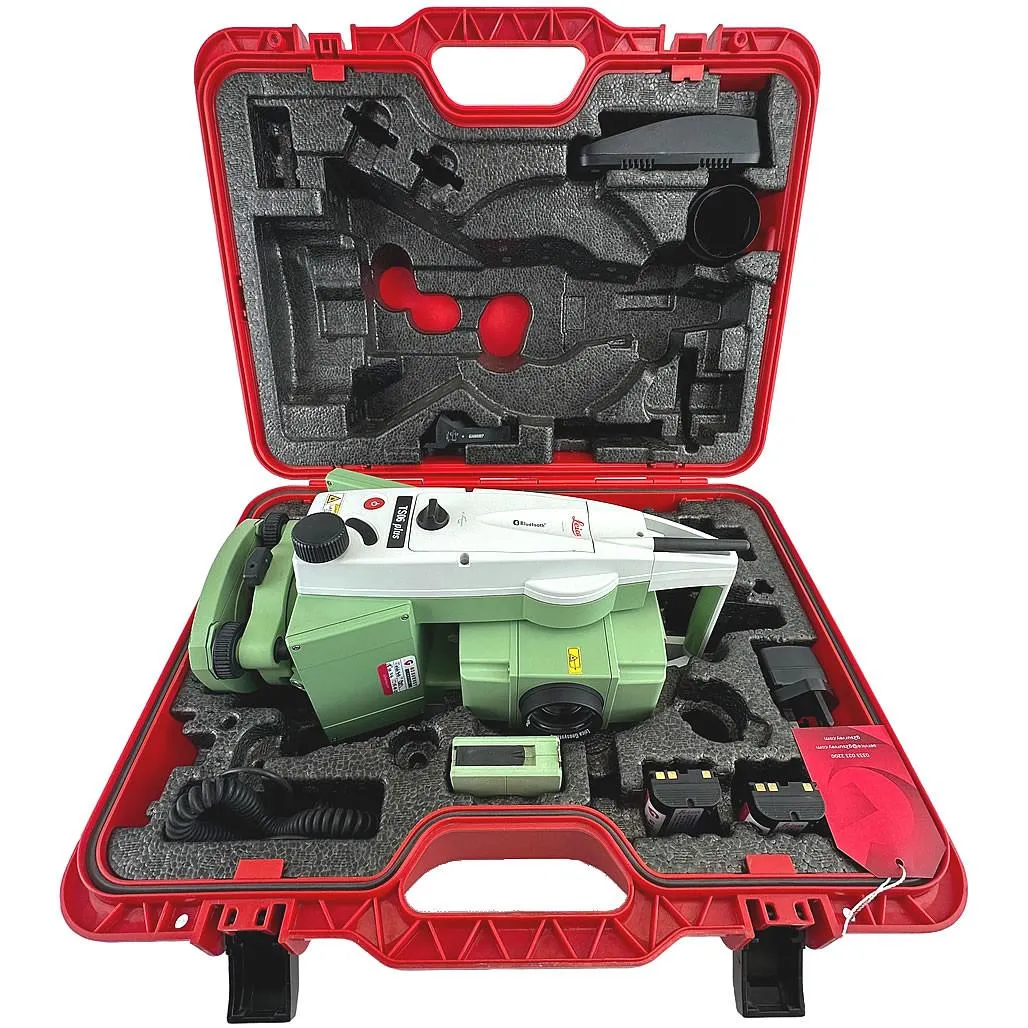
Total station
Leica TS06 Plus 5″ R500
High-precision Leica TS06 total station with 5″ angular accuracy for topographic surveys, setting-out works, as-built surveys and deformation monitoring.
- Equipment type
- Angle accuracy
- Reflectorless range
Laser scanning is a fast way to capture a high-accuracy 3D model of a building, industrial site, quarry, tank or engineering structure. GeoProGlobal performs terrestrial laser scanning with the South SPL-620 (range up to 620 m, up to 1.2 million points per second), registers stations, processes point clouds and delivers materials for BIM, as-built surveys, measured drawings and deformation monitoring. We work across Kazakhstan.
These are the tasks we most often solve within this service.
Facade and interior measured surveys, capturing as-is geometry for reconstruction, major repairs and design.
Scanning process units, tanks, pipe racks and sites for as-built models, clash detection and upgrades.
Volumetric models of pits and stockpiles for overburden volumes, slope monitoring and mine planning.
Dense point clouds as the basis for BIM models, digital twins and integration with the client’s CAD/CAE systems.
Repeat scan cycles to compare geometry over time — settlement, tilt and structural displacement control.
We manage the project end to end and deliver the full document package.
We clarify the task, scan zones, required point density and delivery formats.
We set up stations, capture with the South SPL-620 and, where needed, tie the survey into the geodetic network.
We register stations, remove noise and align the cloud to the required coordinate system.
We prepare orthophotos, sections, mesh/BIM models or coordinate catalogues per the client brief.
We deliver point clouds, the report and derived materials in agreed formats (E57, LAS/LAZ, RCP, DWG, IFC, etc.).
High-precision Leica TS06 total station with 5″ angular accuracy for topographic surveys, setting-out works, as-built surveys and deformation monitoring.
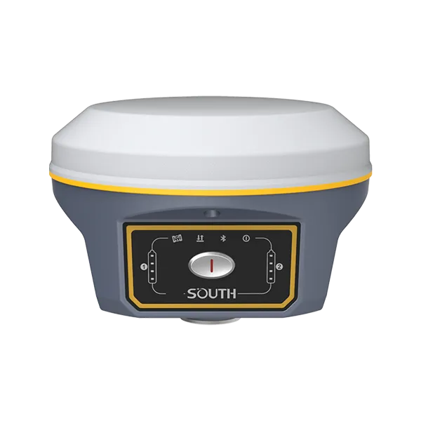
Flagship GNSS RTK receiver with 1598 channels, IMU up to 60°, IP68 and hot-swap batteries.
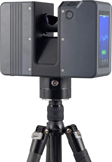
Terrestrial laser scanner with 620 m range, up to 1.2 M points/s and two 13 MP cameras.
December 28, 2023
as amended 2 February 2024
2014
A topographic survey delivers plan-height control and a site plan. Laser scanning captures millions of surface points and dense 3D geometry — ideal for BIM, complex structures and detailed measured surveys.
South SPL-620 terrestrial laser scanner: range up to 620 m, up to 1.2M pts/s, ranging accuracy ±5 mm, dual 13 MP cameras. We add a Leica total station and South GNSS for control when needed.
Standard deliverables are E57, LAS/LAZ and RCP. On request we prepare sections, orthophotos, mesh, DWG or IFC. Formats are agreed before mobilisation.
Yes. Field crews with the scanner and support equipment mobilise to sites in any region of Kazakhstan.
Use the step-by-step estimate form and we will prepare a proposal with equipment, timelines and cost.